Outdoor Maps+ Plans
Original price was: $4.99.$0.50Current price is: $0.50.
Description
EXPLORE CONFIDENTLY WITH HIGH-DETAIL TOPOGRAPHIC MAPS
FIND CAMPGROUNDS AND A CLEAR NIGHT SKY
NO MATTER YOUR PURSUITS, WE HAVE THE MAPS AND DATA TO HELP YOU FIND THEM
FIND YOUR WAY TO THE WATER
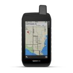
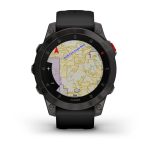
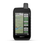
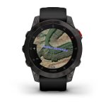
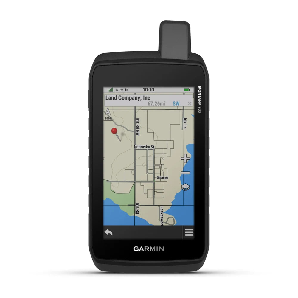
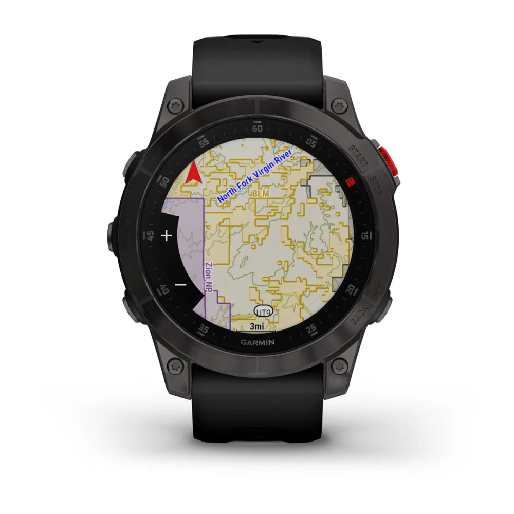
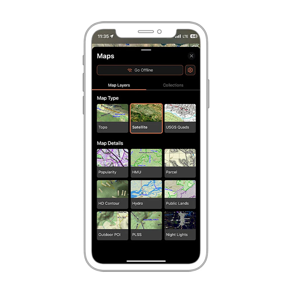
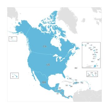
With Outdoor Maps+, you have access to a wide variety of premium mapping across the globe. Content is regularly updated and delivered directly to your compatible Garmin device via Wi-Fi? connectivity. You can also access your Outdoor Maps+ content with the Garmin Explore? or Tread? smartphone apps. Check the coverage tab to see which features are available in your area of interest1.
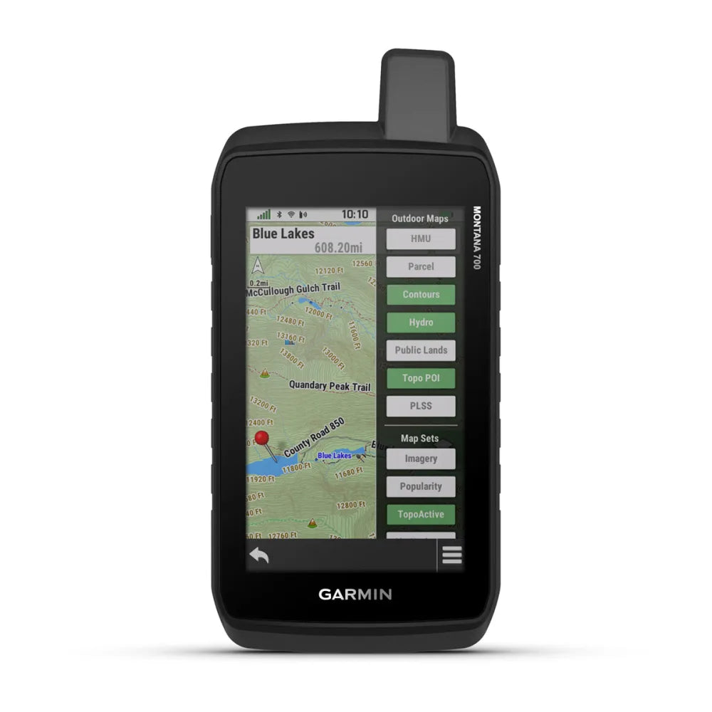
MULTIPLE MAP LAYERS LET YOU VIEW ELEVATION CONTOURS, LAND BOUNDARIES, WILDLIFE AREAS AND MORE
EASY DOWNLOADS VIA WI-FI DELIVER FRESH MAP DATA DIRECTLY TO YOUR GARMIN DEVICE
CONTENT IS REGULARLY UPDATED AND EXPANDED TO KEEP YOU TRACKING
KNOW THE LAY OF THE LAND
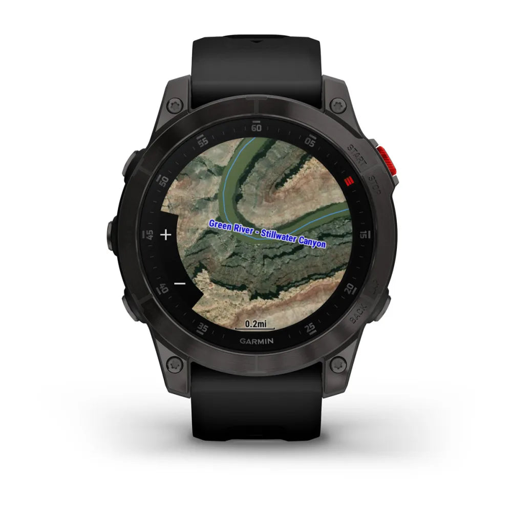
SATELLITE IMAGERY
Download photorealistic maps directly to your device, and see a high-resolution perspective from above. Easily find the land features that matter to you, mark waypoints and more.
HD RELIEF SHADING
Enjoy improved mapping detail with shading that helps visually depict elevation changes and terrain features.
ENHANCED TOPO MAPS
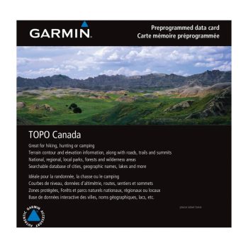
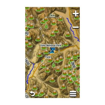
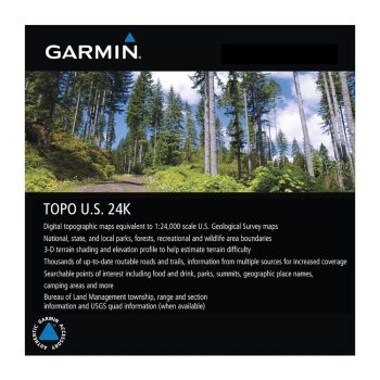
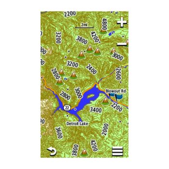
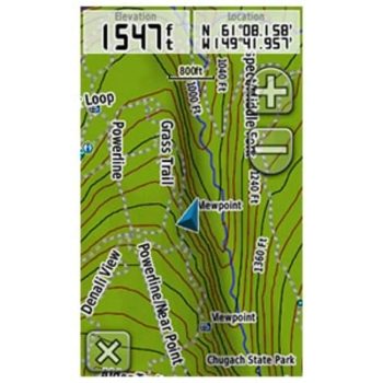
Get high-quality elevation mapping with premium contours and maximum detail. View local terrain changes to plan routes and anticipate slope changes, elevation gain and more.
TOPO PRO
Access mapping content from premium local providers for multiple countries, with roads and trails, points of interest, contour lines and more.
RASTER MAPS
Get highly detailed raster maps that display local information ¡ª such as trailheads and trails, camping areas, points of interest, water sources and more ¡ª from leading providers. Map content and scale will vary according to sources. Learn more.
BUILDINGS
Gain your bearings or get help with route planning with a map layer that shows 2D building footprints.
BOUNDARIES
See European countries, international borders, states, provinces, counties and more. Easily disable the borders when you don¡¯t need them.
GET OUTSIDE
GARMIN TRAILS
Use Garmin Trails to access thousands of trails in the Garmin Explore? smartphone app, then send them directly to your compatible device for offline access ¡ª or create a copy and save to your courses to add points of interest or edit the path. Available in select areas; learn more.
NIGHT LIGHTS
See where light pollution is, or isn¡¯t, on a map to help you find the best locations for stargazing, camping or getting out there ¡ª way out there.
POINTS OF INTEREST
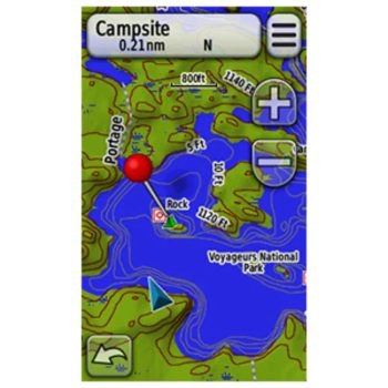
Whether you¡¯re cycling, paddling, camping, hiking, fishing or anything in between, it¡¯s easy to find a new place to explore. Discover points of interest ¡ª such as boat ramps and campgrounds, national parks and historic sites, survey marks, picnic areas and zoos. Information is sourced from DeLorme? Atlas & Gazetteer? points, U.S. Forest Service points and more.
CAMPGROUNDS
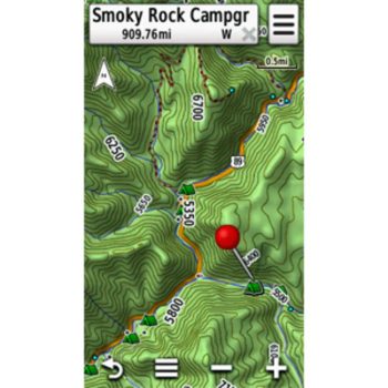
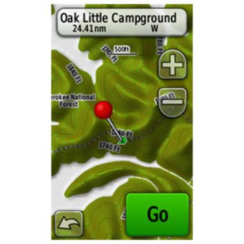
Find a spot to spend the night, and check which amenities ¡ª such as water, toilets or electricity ¡ª are provided before you arrive.
SKIVIEW? AND SNOWVIEW? FEATURES
View ski lifts and downhill ski run names with difficulty information for thousands of ski resorts worldwide plus hundreds of miles of cross-country and skate skiing trails. Overlay this information on the map with elevation and terrain features. SnowView maps show you winter satellite imagery for more than 1,000 ski areas worldwide to help you plan your adventures on the slopes. Learn more.
LTE VOICE COVERAGE
Wondering if you¡¯ll have cell service before you head out? Check the map to see voice coverage for AT&T, Verizon, UScellular and T-Mobile carriers, and filter the results based on your cell carrier. The map is updated within about 2 months of the biannual publication of reported data from the FCC Broadband Data Collection. The data is not available for every LTE services provider or every geographic region. Learn more.
RIDE TRAIL MAP
Find your next ride with a detailed mountain bike trail network overlay for the Alps region from Swiss Sports Publishing GmbH.
ON THE HUNT
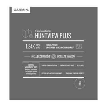
PARCEL MAPS AND INFORMATION
See how tracts of land are divided into lots ¡ª with parcel boundary information for public and private land types.
PUBLIC LAND MAPS
Respect private landowners and venture into public lands. This color-coded map overlay shows you accessible lands that are easy to identify. The growing dataset contains state and national public lands, including national and state parks, Bureau of Land Management Lands, WMAs and more.
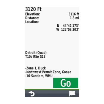
HUNTING UNITS
View the current hunting unit boundaries for each state. This includes boundaries for multiple species (where applicable). Always defer to the most up-to-date information from local regulatory agencies and posted signage, and remain aware of property boundaries.
BURN ZONES
See where wildfires or controlled burns have happened, with important details such as when the burn took place.
WALK-IN HUNTING AREAS
Expand your hunting opportunities with this map layer. See active walk-in hunting property boundaries where private landowners permit access to their properties for hunting through voluntary public access programs. Always defer to the most up-to-date information from local regulatory agencies and posted signage, and remain aware of property boundaries.
CWD AREAS
See where chronic wasting disease-restricted areas exist, and know the regulations for that specific area. Know before you go ¡ª harvesting deer in CWD-positive areas may come with hunting, transportation and additional restrictions.
HUNTING STAND LOCATIONS
This feature shows the location of more than 200,000 hunting stands, lookout points, platforms and viewpoints throughout popular European hunting areas.
FIND THE WATER
BOAT RAMPS
See locations of boat ramps, and know if they can accommodate a trailer.
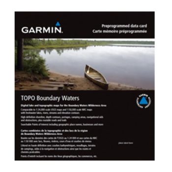
FRESHWATER FEATURES
See detailed mapping of the National Hydrography Dataset, including inland lakes, rivers, streams and wetland features.




Reviews
There are no reviews yet.